The first European settlers came into the Shenandoah Valley almost 300 years ago following the river south from Pennsylvania and establishing the first settlements near Luray and Staunton in 1727. But first, let’s talk about the Indians who settled in the Valley over 11,000 years ago and were in such harmony with their environment there is hardly any surviving evidence they were ever here.
When the first Europeans came into the valley they encountered no Indians, just a string of long abandoned Indian villages along the river, where once there had obviously been a thriving community. It is generally believed this was evidence of the first wave of European diseases that would ultimately so decimate all the peoples of the Americas.
But the Indians had been here for hundreds of generations. We know this from the nearby Thunderbird excavations tracing their continual occupation back to the last ice age. Although most of their burial mounds along the river have been plowed down over the years, we still find their stone tools and spear points everywhere. In the river they constructed stone weir fish traps in the form of a river wide “V” pointing down stream which survive to this day and are prominent in low water.
Early Europeans mostly settled along the river farming the rich flood plain lands. There were no roads or railroads, so the river was the only option for commerce. Early on, in order to get produce to market, the early settlers would build river barges known as “gundalows”. Most were about 10 feet wide and 40 to 60 feet or more in length and were used to float grain, fruit, flour, pig iron, whiskey, fence rails, and molasses to market. When the boat reached its destination they would tear it apart for the lumber and the three man crew would walk back home. The major departure point was Port Republic and the main destinations were Front Royal, Harpers Ferry, and Georgetown via the C&O Canal. The gundalows were used for close to 150 years until the railroad came through in 1883 and made them obsolete.
Many mills were built along the river which of course powered their works. Incumbent sluices and dams with gundalow chutes were part of the system. Each group of gundalows was equipped with a giant horn up to 10’ in length to warn the mills of their approach so the chutes could be opened. The sound of the horns echoing off the mountain walls was said to be “hair raising”. Many of the small islands and side channels along the river today are actually the remains of these 18th and 19th century dams and mill races and sluice ways. Of necessity all the mills had to be built close to the river and periodic flooding over the years insured their demise.
Over the course of the past 150 years the river has seen major flooding, on average about once every 20 years. Major floods occurred in 1870, 1896, 1924, 1936, 1942, 1972, 1985, and 1996. Looks like we’re overdue for another. Most floods are a result of passing hurricanes and tropical storms in late summer and early autumn. The worst was the 1870 flood when most of the tree cover in the Valley had been victim of the Civil War or gone to make charcoal for the local iron industry. In fact, when Shenandoah National Park was established in 1935, it was 90% cleared farming land. Today it is 95% forested which goes a long way in mitigating erosion and run off from flooding rains.
The worst drought year on record was 1930. I’ve seen pictures and it was ugly. Scattered pools of water in a sea of rocks.
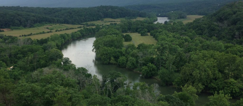
The days of river commerce are long gone, but the river continues to serve. The Shenandoah River is now a major recreation resource, and in addition serves many communities in the Valley as a source of freshwater.